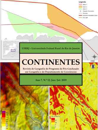
O bairro Parque Mambucaba está localizado em uma planície de inundação flúvio marinha do rio Mambucaba no município de Angra dos Reis, no estado do Rio de Janeiro. O histórico das ocupações mostra uma área com grande suscetibilidade às inundações que tem se agravado à medida que o bairro cresce. Dois mapeamentos oficiais sobre as áreas inundáveis no bairro, realizados pela CPRM e Prefeitura de Angra dos Reis, utilizando-se de técnicas de geoprocessamento, apresentaram resultados distintos. Diante do impasse realizou-se um mapeamento participativo, utilizando a vivência dos moradores para delimitar as áreas inundáveis no bairro. Foram realizadas entrevistas com moradores mais antigos e com técnicos da prefeitura, além da participação de alunos do ensino médio da rede estadual. Durante asoficinas para capacitação dos entrevistados concluímos que a falta de saneamento básico no bairro é um agravante, pois as inundações iniciam com a água do rio retornando pelas galerias de esgoto improvisadas, mesmo quando o rio não transborda.
Palavras-chave:
The Parque Mambucaba neighborhood is located on a floodplain of the Mambucaba River in the municipality of Angra dos Reis, Rio de Janeiro State. The history of occupations shows an area with high susceptibility to flooding that has worsened as the neighborhood grows. Two official mappings of flooded areas in the neighborhood, carried out by CPRM and Angra dos Reis City Hall, using geoprocessing techniques, presented different results. Faced with the impasse, a participatory mapping was carried out, using the residents' experience to delimit the floodable areas in the neighborhood. Interviews were conducted with older residents and city hall technicians, as well as the participation of high school students from the state network. During the training workshops for respondents, we concluded that the lack of basic sanitation in the neighborhood is aggravating, as flooding begins with river water returning through makeshift sewage galleries, even when the river does not overflow.